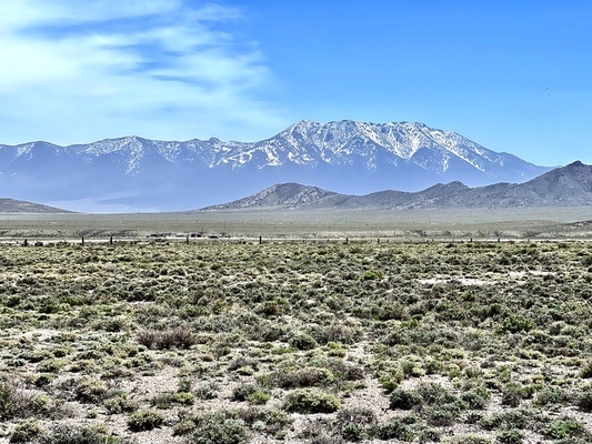
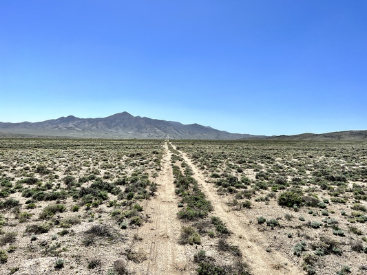
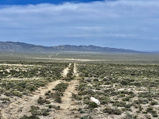
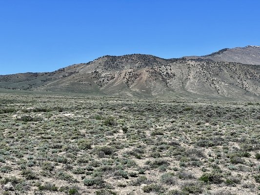
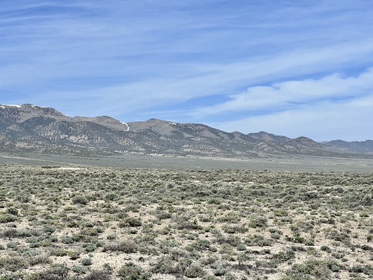
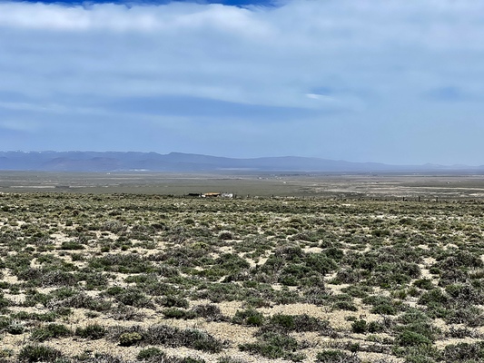
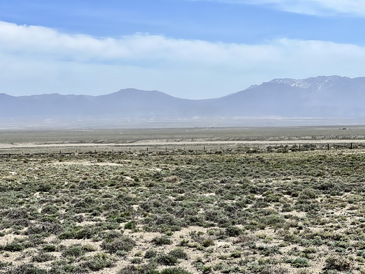
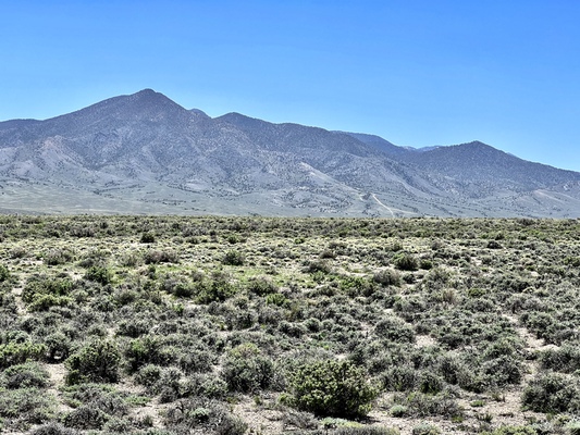
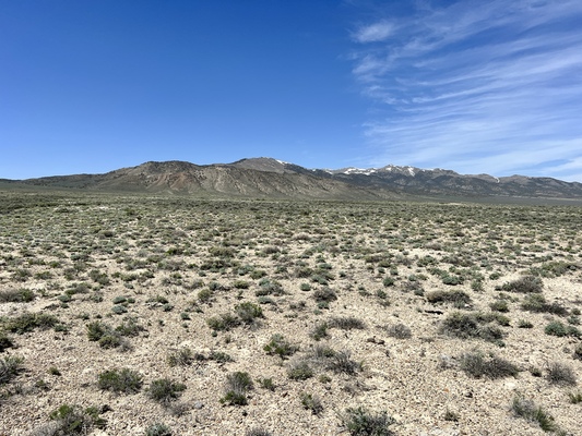
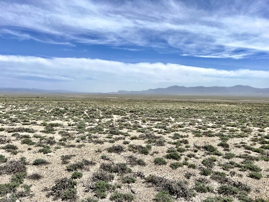
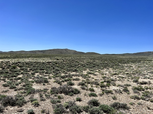
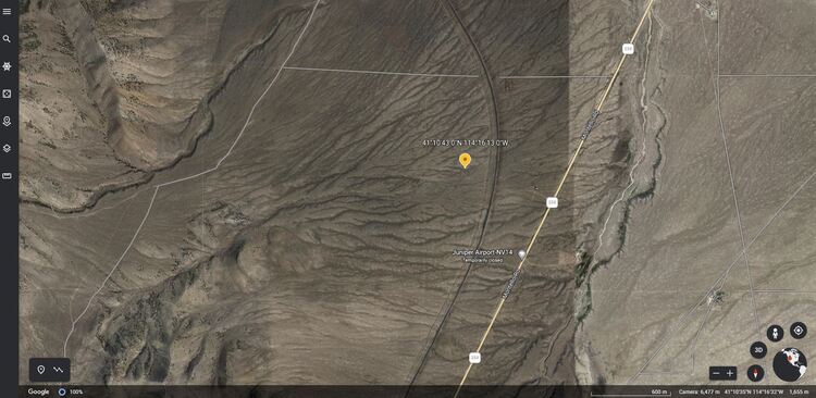
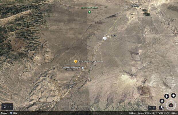
Great location near the mountains and rivers, with lots of outdoor activity capabilities! Set out for an adventure from your own 10 acres close to the towns of Montello, Wells and Elko, Nevada. With views of the Murdock Mountain Peak, Toano Range and close to Pilot Peak and Humboldt Mountains. With the different mountain tops close by, along with the Humboldt River and loads of BLM land in the approximately this area is a dream for all of your outdoor recreation activities. When you own this land you can park your RV, camp, ride your dirt bikes or ATV's or even build your dream home and still live the off-grid life! With guaranteed approval for owner financing, your dream can become your reality!
Or perhaps you are ready to invest in something that will increase in value year after year! You have nothing to lose when you put your money to work with land!
This property is close to HWY 233 leading into the town of Montello, NV and the Utah border or towards Hwy 80 leading into the towns of Wells or Elko, NV, you'll be able to golf, horseback ride, fish, hike in the beautiful area along with still having access to the Wells Municipal Airport if you have a hobby in aircrafts! Close to the interstate and rail is around 100 miles away for your travel needs.
$18,249.00 OR BEST OFFER
$500.00 DOWN PAYMENT
$295.82 MONTHLY PAYMENT + $10/Mo note fee, and estimated taxes.
$249.00 DOC FEE
60 MONTH TERM
If these terms do not fit for you, owner is willing to negotiate with down and monthly payment to fit your needs. No need for credit checks or applications to fill out. There is no penalty for prepayment and no interest on the loan.
Act today - Contact the seller!
email [email protected] or call 888-703-6080
Property Details
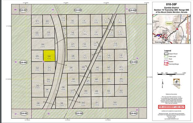
APN: 010-35F-026
Acres: 10
County: Elko
State: Nevada
Google Maps: https://earth.google.com/web/@41.17716859,-114.28086402,1675.03607004a,10507.54798188d,35y,0h,0t,0r/data=MikKJwolCiExTUJTMUo3XzNyMWZsTW9BQ3RiaG8wZWxybURRN1VlZ2EgAQ
Elevation: 5,410.10
Legal Description: SE4, SW4, NW4 S15/T38N/R68E. APN #10-35F-26-9
GPS Coordinates: Lat 41.178600, Long -114.270290
NW GPS – 41.185052, -114.269066
NE GPS – 41.185520, -114.286880
SW GPS – 41.149867, -114.308303
SE GPS – 41.147481, -114.299631
Access to Property: Dirt road access, will need 4WD vehicle.
Taxes: $28.64 per year
Zoned: Open Space (OS)
County Use: 120-Vacant-Single Family Residential
HOA: No
Utilities
Power: Will need Solar or Generator.
Gas: No gas lines, will need Propane.
Water: Well needed.
Septic: Septic needed.
Posted By